Releases: roblabs/maps-for-non-profits
LW
Public Domain Maps
See https://roblabs.com/nps#geospatial-pdfs for an example of opening RoMo Fire & Joshua Tree geospatial PDFs in Avenza Maps. The link also has details on how to install for iOS or Android
Mataguay Scout Ranch
Offline Satellite Map
Our Offline Satellite map for Mobile is made to plugin to Avenza Maps 1. The file sizes of Offline Satellite maps for mobile can be large, so use the smaller samples to test out and become familiar with Avenza Maps.
- Matia Island sample 1, 1.6 MB. Use to test your setup of Avenza Maps.
- Mataguay Scout Ranch 1
- Download size is 270 MB.
- Alternate Link: avenzamaps://s3.us-west-2.amazonaws.com/com.roblabs.yellow-dog/mataguay/mataguay-poster-36x24.tif
1 Download and install on Avenza Maps for iOS & Android. If Avenza Maps is already installed, tap link on iOS and it will automatically open. Avenza links will only work if the Avenza Maps app is installed. Note: The free version is limited to having three maps downloaded to the app at any one time.
STW-alpha
Sierra Club San Diego Chapter and Groups
This map shows the Sierra Club San Diego Chapter with the North County Coastal & North County Groups broken down by Zip Code.
Sierra Club San Diego Chapters by Zip Code
Created December 3, 2020
Output
- Generated in QGIS Print Layout
- PNG, PDF, GeoTIFF at 300 pixels per inch at 8.5x11" letter size. Ready for scaling
Source Data
Raw source data sourced as Shapefiles from:
MUNICIPAL_BOUNDARIESfrom the Jurisdiction data set from San Diego Geographic Information Source- San Diego
Zip_Codesfrom the Miscellaneous data set from San Diego Geographic Information Source - ZIP Code Tabulation Areas from the Census Bureau
Cartography
- The font choice is
Helvetica Neue
which is used in other Sierra Club North County Group assets - The color palette also comes from the North County Group
QGIS Filtering examples 👉
Use the filter data option in QGIS in Query Builder to remove bad zip code data, or highlight a community.
"ZIP" = '92058' OR
"ZIP" = '92127' OR
"ZIP" = '92128' OR
"COMMUNITY" = 'Bonsall' OR
"COMMUNITY" = 'Fallbrook' OR
"COMMUNITY" = 'Pala' OR
"COMMUNITY" = 'Palomar Mountain' OR
"COMMUNITY" = 'Pauma Valley' OR
"COMMUNITY" = 'Santa Ysabel' OR
"COMMUNITY" = 'Valley Center'
License
Build Lebanon Trails, Nov 2021
Please see RobLabs.com/blt to see live map examples.
November 2021 - final version v2021-11-02
- This is a 2'x3' map for Build Lebanon Trails that is print ready with dimensions of 7200 × 10800 at 300 pixels per inch. Royalty free printing.
- For a web version of this 2'x3' map, see this link.
- Print version can be reviewed and BLT can give the final approval
Sierra Club North County Group #NCG50for50
Colophon
This #mapsForNonProfits was custom built for the Sierra Club San Diego. The North County Group is highlighting their 50 Hike Challenge.
- Link to the full screen map at 3LineMaps.com
Architecture & Design Choices
The map was based on Apple Maps, interactive maps on the Web, which offers standard and satellite maps types. While Apple Maps will work on most browsers for desktop and mobile, the customer may want to view the landmark in their favorite map app on their mobile phone.
The landmark callouts were designed with a mobile first experience in mind.
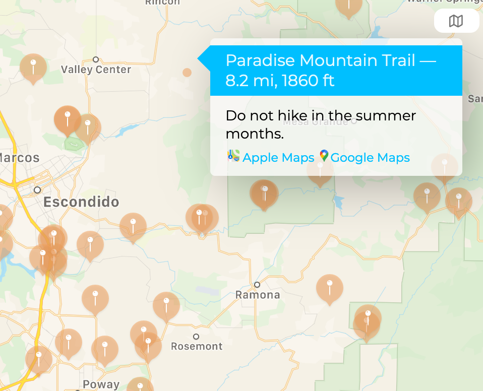
Tapping on a hike location  brings up the landmark callout. From there the customer can choose a link to open a map app that offers features they expect: directions, map printing, saving & sharing of landmarks via text or social media, or possibly offline map downloads. Customers viewing this map on Mac, iPhone or Android can enjoy the proper map app for their system. Making a map also should take into consideration a customers privacy1.
Landmark callout with hike details, and links to Apple or Google Maps.
Embedded interactive Apple maps for the web offer standard and satellite maps types.
1Apple states that "Maps helps you find your way without compromising your privacy".
Cartography
- The landmark callout include the distance, elevation and comments as provided by the Sierra Club.
- The layout of the landmark callout is handled by Apple Maps, with customization of HTML elements such as headers and links.
- The font for the landmark callouts is Montserrat which is also one of the 50 hikes (Monserate Mountain Trail).
- The color palette for the landmark callouts also comes from the North County Group
Square images ready for social media
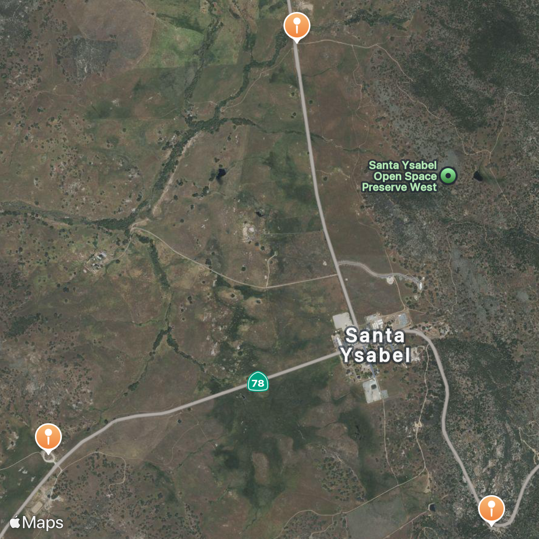
Inaja Trail and Santa Ysabel Open Space Preserve East & West.
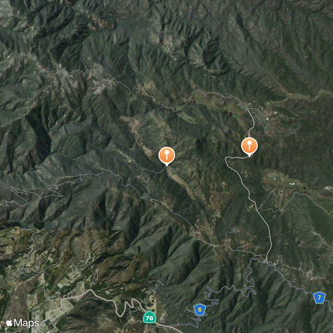
Observatory Trail Overlook and Lower Doan Valley & French Valley
Apple Guides
Apple Guides was announced in June 2020 as a new product for their Maps app.
Explore new places with Guides in Maps on iPhone. Guides from trusted brands and partners are available in the Maps app.
In the Maps app, you can organize places into your own guides. Add a place to your Guides on your iPhone: Tap “Save to,” then choose one of your guides.
- Apple Guides for the 50 Hike Challenge
- Errata: Apple Guides shows that there are only 42/50 landmarks when clicking on the link. But all 50 landmarks are there. So use with caution.
Data
CSV
The raw data can be found at [wbc50.csv](https://github.com/roblabs/3linemaps.com/blob/maste...
Build Lebanon Trails
Jul 22, 2021 - draft version v2021-07-22
- This is a 2x3 foot PDF with a satellite base map. This is to give the Kiosk team an idea of what a print layout will look like
- Needs trail data from OpenStreetMap.org. See below for issues of missing trail data
Changes made in OpenStreetMap.org
Status of trail data
Marks Slough Trail
- Trail name possibly wrong in OSM. Need to verify if Mark Slough or Marks Slough. National Hydrographic Database (NHD) says Marks.
- https://www.openstreetmap.org/way/543192359 — is unlabeled. Maybe spur, or trailhead access or Marks Slough
- https://nominatim.openstreetmap.org/ui/search.html?q=mark+slough+trail
- https://nominatim.openstreetmap.org/ui/details.html?osmtype=W&osmid=474949776&class=highway
- https://nominatim.openstreetmap.org/ui/details.html?osmtype=W&osmid=552417590&class=highway
- https://nominatim.openstreetmap.org/ui/details.html?osmtype=W&osmid=552417591&class=highway
- https://nominatim.openstreetmap.org/ui/details.html?osmtype=W&osmid=552417593&class=highway
- https://nominatim.openstreetmap.org/ui/details.html?osmtype=W&osmid=552417594&class=highway
- https://www.openstreetmap.org/way/474949776
- https://www.openstreetmap.org/way/552417594
Northside Community Trail
- Missing: Northside Community Trail does not exist in OSM
Burkhart Creek Trail
- Missing: Burkhart Creek Trail
Cheadle Lake Trails
- Cheadle Lake: Most of North Shore exists. Part of South Shore exists.
Eagle Scout Trail
- https://nominatim.openstreetmap.org/ui/details.html?osmtype=W&osmid=964485094&class=highway
- https://www.openstreetmap.org/way/964485094


