Open Source Maps for non-profits
Please see RobLabs.com/blt to see live map examples.
November 2021 - final version v2021-11-02
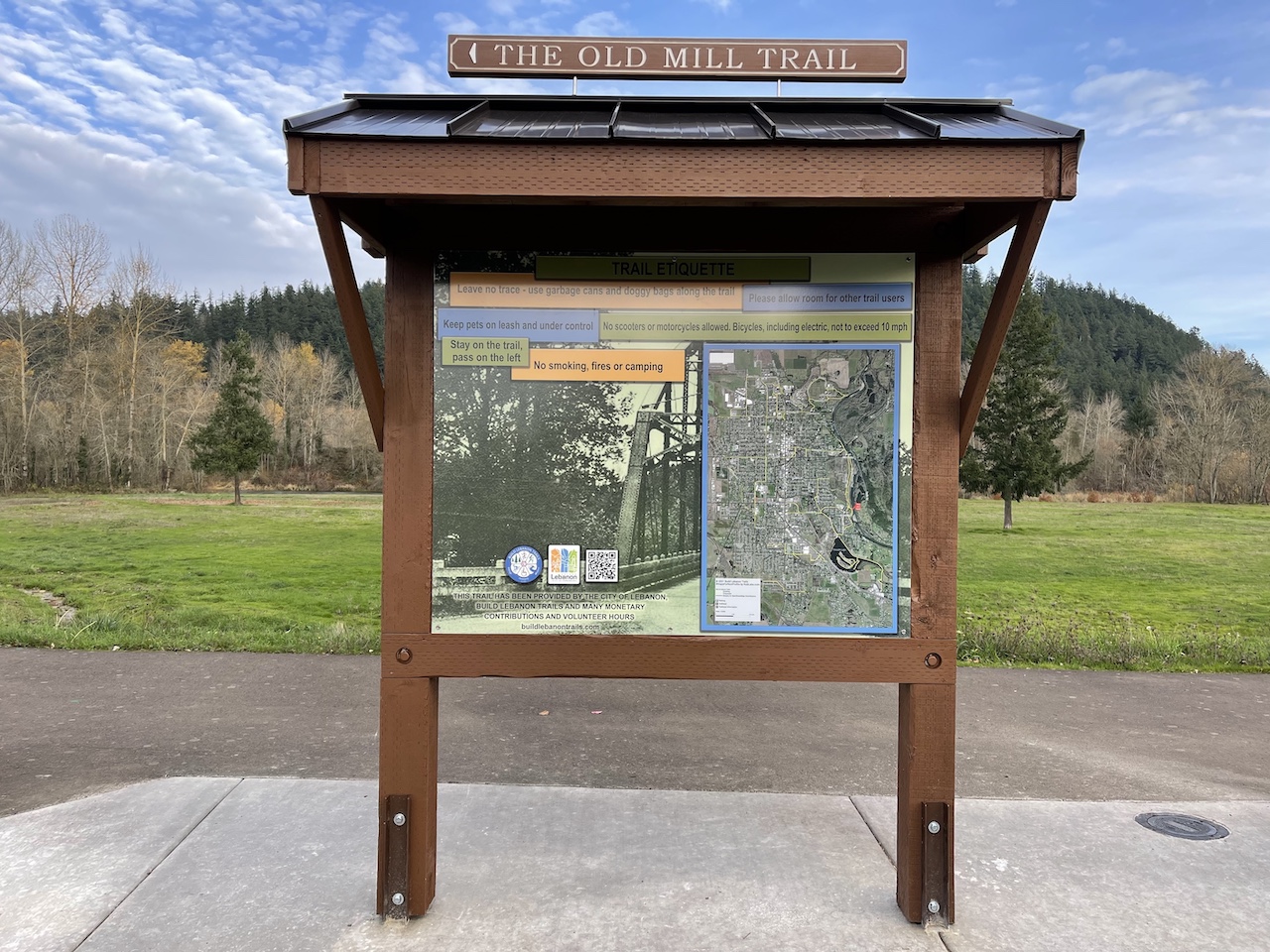
- This is a 2'x3' map for Build Lebanon Trails that is print ready with dimensions of 7200 × 10800 at 300 pixels per inch. Royalty free printing.
- For a web version of this 2'x3' map, see this link.
- See release link v2021-11-02 for large image files, zip files and maps for Social Media.
This #mapsForNonProfits was custom built for the Sierra Club San Diego. The North County Group is highlighting their 50 Hike Challenge.
- Link to the full screen map at roblabs.com
- See release link v2021-05-27 for more details
This map shows the Sierra Club San Diego Chapter with the North County Coastal & North County Groups broken down by Zip Code.
- Generated in QGIS Print Layout
- See release link v2020-12-03


